

Un Paraíso Muy EspeZIHal
by ZihuaRob 
 , Zihuatanejo, México, Thursday, April 03, 2025, 19:06 (582 days ago) @ Padrino
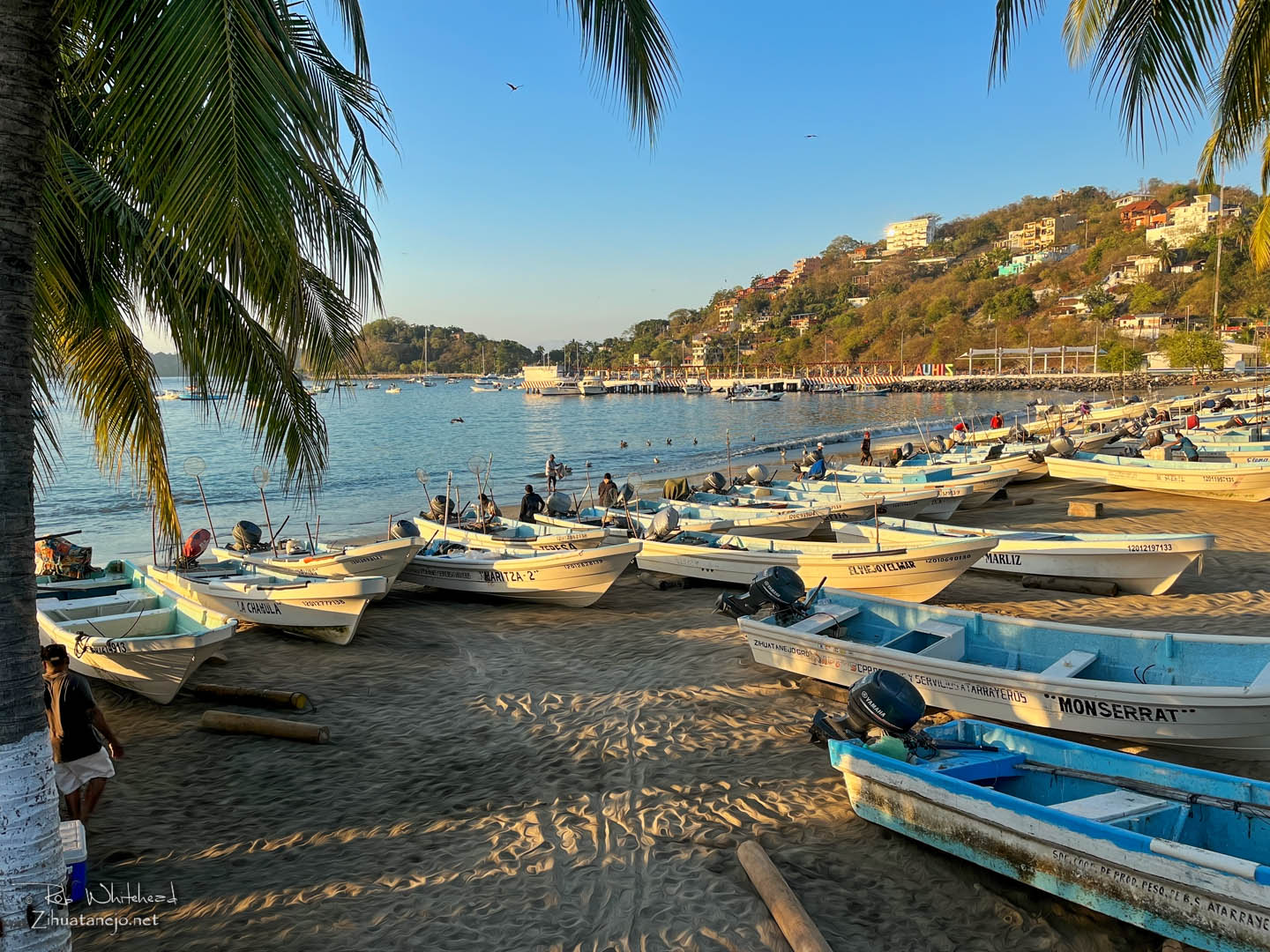
The shipping lanes that cargo ships use we know as líneas off our coast. La primera línea is about 25 to 30 miles out. La segunda línea is about 50 to 60 miles out. Most local fishermen still use visual guides to keep track of where they are along the coast, the mountains we call Los Tetes being one of the key ones for us so that they can find their way back home.
C'mon, Rob, they must have GPS as well as a compass backup, right?GPS - Global Positioning System, courtesy of the United States Department of Defense, you know, the same people who might soon be invading Canada, Greenland, Panama, Gaza, East Cicero, Illinois, etc.
Some of them might take marine radios with them. I used to. And a compass. I always had one of those, too. Many now have chips installed on the vessels so that they can be found if they get lost, break down or otherwise become incapacitated, but such gadgets as a handheld GPS are expensive and too much technology for most fishermen who can barely deal with their cellphones.
Complete thread:
- Un Paraíso Muy EspeZIHal - ZihuaRob, 2025-04-02, 21:23

- Un Paraíso Muy EspeZIHal - Casa Juan, 2025-04-02, 22:06
- Un Paraíso Muy EspeZIHal - ZihuaRob, 2025-04-03, 08:50
- Un Paraíso Muy EspeZIHal - Casa Juan, 2025-04-03, 09:24
- Un Paraíso Muy EspeZIHal - Padrino, 2025-04-03, 15:11
- Un Paraíso Muy EspeZIHal - ZihuaRob, 2025-04-03, 19:06
- Un Paraíso Muy EspeZIHal - ZihuaRob, 2025-04-03, 08:50
- Un Paraíso Muy EspeZIHal - Casa Juan, 2025-04-02, 22:06


